Catalog Archive
Auction 193, Lot 202

"Map Showing Indian Reservations in the United States and Number of Indians Belonging Thereto 1877", U.S. Bureau of Indian Affairs

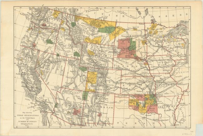
Subject: Western United States

Period: 1877 (dated)

Publication:

Color: Printed Color

Size:
12.5 x 8.6 inches
31.8 x 21.8 cm
Download High Resolution Image
(or just click on image to launch the Zoom viewer)

This small early map was issued in the eighth Annual Report of the Board of Indian Commissioners to the Secretary of the Interior. It shows the status of Indian Reservations within the western United States as of 1877 in various color, with large tracts located in Montana, the Dakotas, and Indian Territory. The map also locates Indian agencies, Army outposts, towns, railroads, and the recently established Yellowstone National Park.

References:

Condition: B+

Issued folding and now flattened and backed with tissue. There is some very minor color offsetting and a faint dampstain confined to the lower left blank margin.

Estimate: $100 - $130

Sold for: $200

Closed on 6/21/2023

Archived