"Morse's General Atlas of the World. Containing Seventy Maps, Drawn and Engraved from the Latest and Best Authorities", Morse, Charles W.
Subject: Atlases
Period: 1856 (published)
Publication:
Color: Hand Color
Size:
14.3 x 16.9 inches
36.3 x 42.9 cm
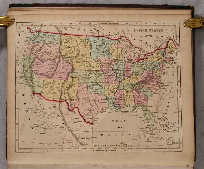
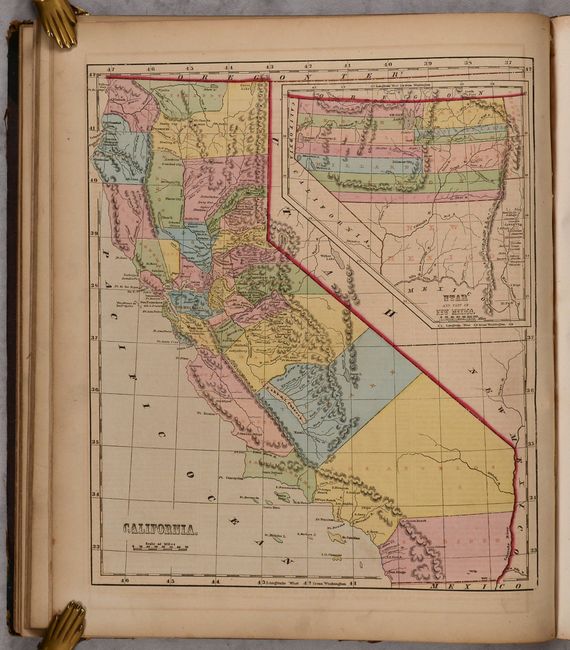
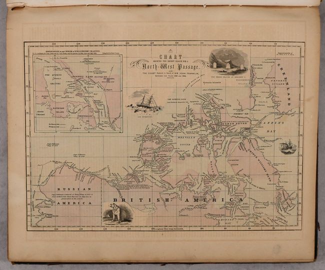
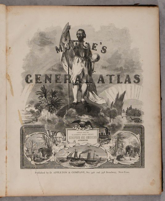
This complete atlas contains 71 cerographic maps on 67 sheets with approximately half of the maps focused on the United States (there are two example of the Wisconsin map). The maps of North America and the United States feature large Utah, New Mexico and Nebraska territories, with Oregon and Washington Territory extending to the Continental Divide. The map of Texas shows county development confined to the eastern half of the state, with Presido, El Paso, and a large, unnamed Staked Plain occupying the west. The map of Florida shows the extent of surveying confined to north of Tampa. Several of the state maps employ red overprinting to identify counties, roads, and railroads (presumably to be the most up-to-date at the time of printing). Outside of the United States, there is a fascinating Chart Showing the Recent Search for a North-West Passage which depicts the extensive effort in locating John Franklin, who searched for a Northwest Passage in 1845 and disappeared in 1847. Decorated by an elegant frontispiece featuring an explorer and vignettes from around the world. Hardbound in quarter leather with tips over cloth boards with gilt title on the spine.
References: Phillips (Atlases) #817.
Condition: B+
The maps are very good with light toning and offsetting, and minor soiling. The maps of Australia and the Pacific Ocean have vertical creases, and the map of North Carolina has a small chip in the bottom blank margin and associated tiny tear that just enters the image. Covers are moderately scuffed and worn.