"Olney's School Atlas", Olney, A. N.
Subject: School Atlases
Period: 1844 (published)
Publication:
Color: Hand Color
Size:
9.8 x 12.1 inches
24.9 x 30.7 cm
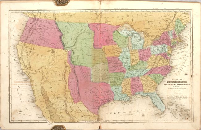
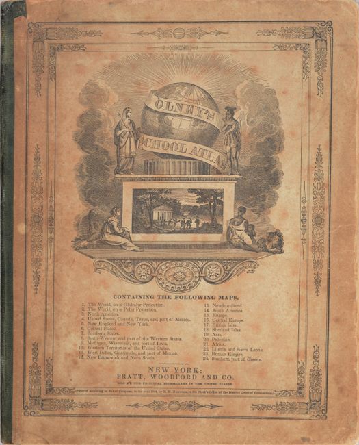
This is a complete example of Olney's atlas with 24 maps on 9 double-page and 6 single-page sheets including several related to the United States as well as maps of the world and continents. The double-hemisphere world map includes quaint little vignettes throughout, such as Indians and bison in North America, lions and elephants in Africa, a pagoda in China and a kangaroo in Australia. The map of the United States shows the new state of Texas in its elongated configuration, reaching well north of Long's Peak. To the west is a small region named Santa Fe or New Mexico. Oregon Territory reaches to the Continental Divide and shows a correct border with Canada. See images for a complete list of maps on the front cover. Published by Pratt, Woodford & Co., New York.
References:
Condition: B
The maps have bold contemporary color with offsetting, toning, soiling, and some ink notations. The maps of the world, United States, and New England have short centerfold separations at bottom. There is a bookseller's stamp and a previous owner's name in ink on the front free-endpaper. The covers are soiled with bumped corners but still intact.