Catalog Archive
Auction 185, Lot 132

"Les Etats Unis de l'Amerique Septentrionale, Contenant en Outre, les Isles Royale, de Terre Neuve, de St. Jean et l'Acadie; avec Partie du Canada, de la Louisiane et de la Floride", Bonne, Rigobert

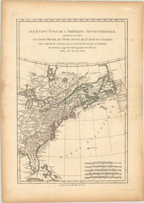
Subject: Colonial Eastern United States & Canada

Period: 1781 (dated)

Publication: Atlas Portaif

Color: Hand Color

Size:
8.4 x 12.6 inches
21.3 x 32 cm
Download High Resolution Image
(or just click on image to launch the Zoom viewer)

This Revolutionary War period map acknowledges the independence of the United States, reflecting French sympathies with the Americans. The map shows the United States confined to east of the Appalachians, delineates states, and names numerous cities and towns. To the west is Louisiane where the fictitious Isle Pontchartrain is located in Lake Superior.

References: Sellers & Van Ee # 742; McCorkle #781.3.

Condition: B+

Contemporary outline color on a sheet with a "T [heart] Richard" watermark, minor foxing in the image, and light toning and dampstains along the edges of the sheet.

Estimate: $160 - $190

Sold for: $95

Closed on 11/17/2021

Archived