Catalog Archive
Auction 176, Lot 778

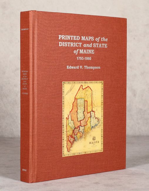
"Printed Maps of the District and State of Maine 1793-1860 - An Illustrated and Comparative Study",

Subject: References, Maine

Period: 2010 (published)

Publication:

Color: Printed Color

Size:
8.8 x 11.3 inches
22.4 x 28.7 cm
Download High Resolution Image
(or just click on image to launch the Zoom viewer)

This reference by Edward V. Thompson is the first dedicated bibliography to focus on maps of Maine. It features 171 entries spanning from Osgood Carelton's early maps of Maine to Ensign, Bridgman, & Fanning's wood engraving of the state. Each entry is illustrated, usually in color. Published by Nimue Books & Prints. Only 1,000 copies were printed. 447 pp. Hardbound in red cloth with silver titles on spine and cover and an illustrated plate on the cover.

References:

Condition: A

Corners slightly bumped, otherwise like new.

Estimate: $140 - $170

Sold for: $100

Closed on 2/12/2020

Archived