"The Cartography of the Northwest Coast of America to the Year 1800", Wagner, Henry R.
Subject: References, Northwestern United States & Canada
Period: 1999 (published)
Publication:
Color: Black & White
Size:
8.6 x 11.1 inches
21.8 x 28.2 cm
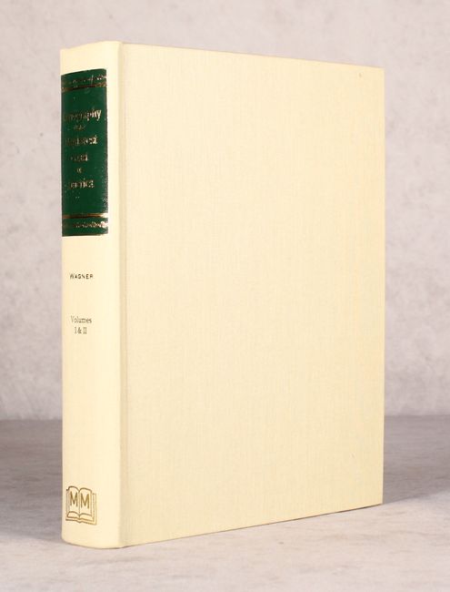
This is a valuable reference to the maps of the northwest coast. Volume 1 contains the historical survey of the cartography together with facsimiles of maps. Volume 2 contains a list of the maps with physical descriptions, notes, and the location of the original of each map, as well as an index and bibliography. Includes reproductions of 40 maps, 12 of which are folding. This is Martino's reprint of the 1937 first edition. Two volumes bound in one, 4to. Hardbound in beige buckram with gilt title on spine. 543 pp.
References:
Condition: A
Contents are near fine with some negligible creasing and chipping in the bottom right corner of some of the middle pages. Binding is also near fine.