Catalog Archive
Auction 154, Lot 313
Scarce Spanish Map of the Northern Coast of Panama
"Carta Esferica de Parte de la Costa del Darien del Norte con las Islas Mulatas que la Hacen Frente desde la de Pinos Hasta la Punta Sn. Blas del Golfo del Mismo Nombre...", Direccion de Hidrografia
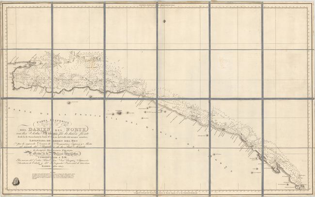
Subject: Northern Panama
Period: 1817 (dated)
Publication:
Color: Black & White
Size:
38 x 23.7 inches
96.5 x 60.2 cm
Download High Resolution Image
(or just click on image to launch the Zoom viewer)
(or just click on image to launch the Zoom viewer)