Catalog Archive
Auction 154, Lot 308
"Mexicque, ou Nouvelle Espagne, Nouvlle Gallice, Iucatan &c. et Autres Provinces Jusques a l'Isthme de Panama...", Sanson/Mariette
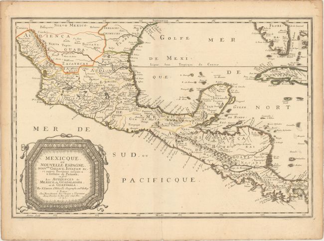
Subject: Mexico & Central America
Period: 1656 (dated)
Publication: Cartes Generales de Toutes les Parties du Monde
Color: Hand Color
Size:
21.8 x 14.6 inches
55.4 x 37.1 cm
Download High Resolution Image
(or just click on image to launch the Zoom viewer)
(or just click on image to launch the Zoom viewer)