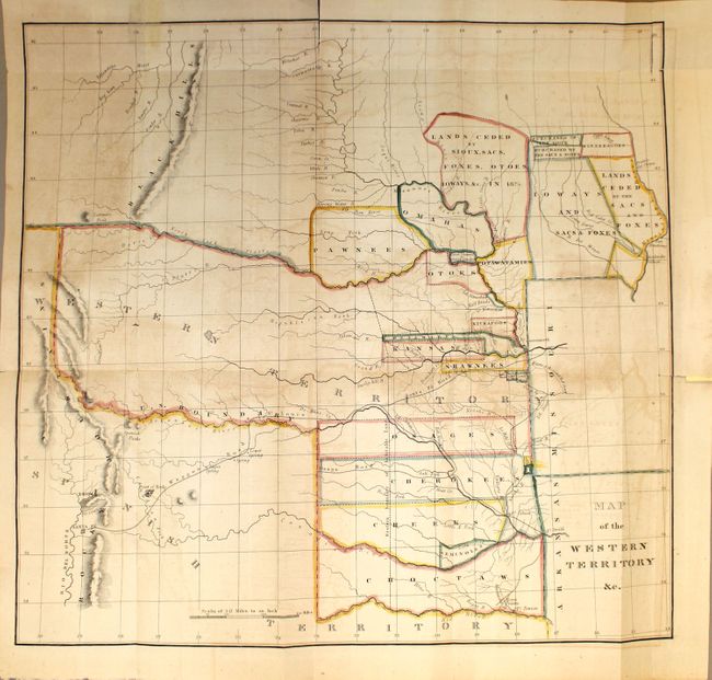
"Map of the Western Territory &c.", Hood, Washington (Lt.)
Subject: Central United States
Period: 1833 (circa)
Publication: HR Report 474, 23rd Congress. 1st Session
Color: Hand Color
Size:
17.7 x 17 inches
45 x 43.2 cm
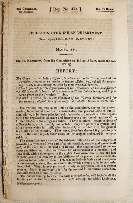
This is a rarely seen map that covers the region between the Yellowstone River and Santa Fe east to Fort Armstrong on the Mississippi River and Fort Smith on the Arkansas River. It is the first government publication to collectively show the boundaries of 27 of the various Indian lands and land cessions west of the Mississippi. Named Indians lands and cessions include Choctaws, Seminoles, Creeks, Cherokees, Osages, and Senecas to name a few. The associated report is important as it provided regulated trade and intercourse with the Indians and established the Western Territory providing security and protection for emigrants and the Indian tribes therein. Accompanied by the 131 pp. disbound report.
References: Wheat (TMW) #405.
Condition: B
Moderate offsetting and toning, two fold separations at top that extend about 1.3" into the map image, and two edge tears at top that have been closed on recto with archival tape.