Catalog Archive
Auction 138, Lot 616
"Carte Generale des Villes et des Balliages de la Prusse avec une Partie de la Pologne et de la Vistule Depuis Dantzig Jusques a Warsovie Telle qu'etoit la Situation l'Annee 1640", Anon.
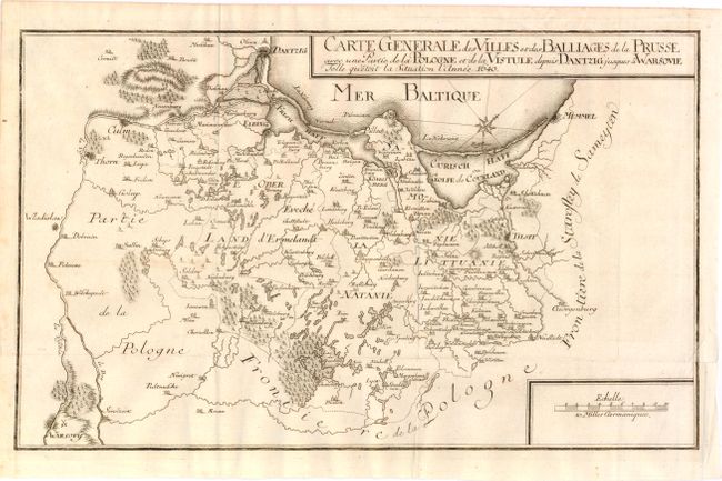
Subject: Poland, Kaliningrad and Lithuania
Period: 1750 (circa)
Publication:
Color: Black & White
Size:
16.5 x 10 inches
41.9 x 25.4 cm
Download High Resolution Image
(or just click on image to launch the Zoom viewer)
(or just click on image to launch the Zoom viewer)