Catalog Archive
Auction 129, Lot 836
"Carte des Decouvertes faites dans la Mer Pacifique sur la Vaisseau de Roi, La Resolution, Commande par le Capitaine Cook en 1774", Cook/Benard
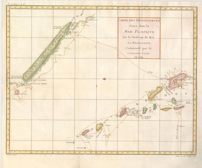
Subject: South Pacific Ocean
Period: 1778 (circa)
Publication: La Harpe's Abrege de l'histoire generale des voyages
Color: Hand Color
Size:
18 x 14 inches
45.7 x 35.6 cm
Download High Resolution Image
(or just click on image to launch the Zoom viewer)
(or just click on image to launch the Zoom viewer)