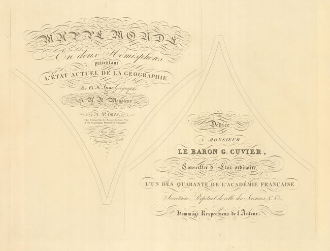
"Mappe Monde en Deux Hemispheres Presentant l'Etat Actuel de la Geographie", Brue, Adrien Hubert
Subject: World
Period: 1821 (dated)
Publication:
Color: Hand Color
Size:
72 x 40 inches
182.9 x 101.6 cm
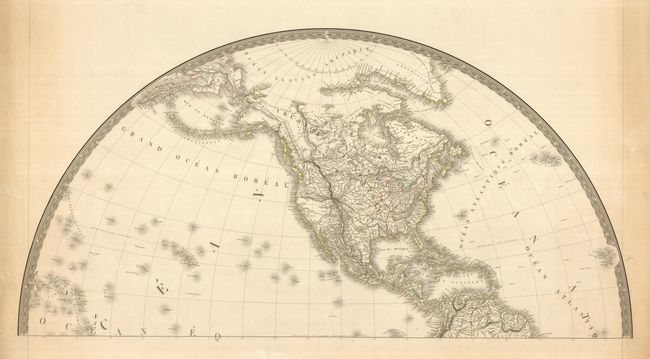
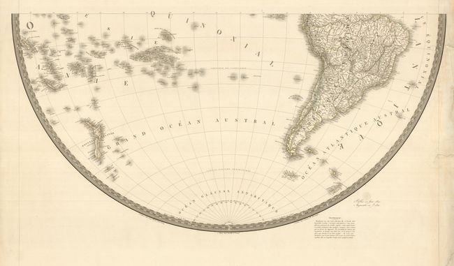
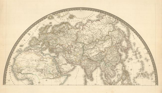
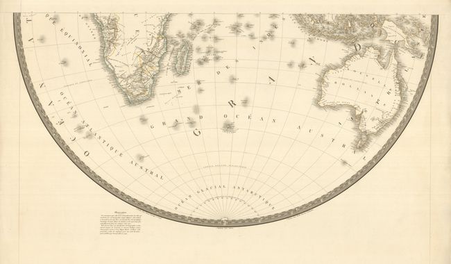
This is a very scarce, large-scale map printed on four large sheets. The map is very well engraved with detail precisely defined and including the latest information from the discoveries of the late 18th and early 19th centuries. In North America the topography reflects the reports of Lewis and Clark, Vancouver and other recent explorers and Brue credits Arrowsmith for much of the cartography. The boundary between the United States and Canada reflects the US. claims into present-day British Columbia. The states and territories are delineated and include a large Arkansas Territory. In the Pacific, New Zealand is shown with both its French title and the original Maori names for each island. In Africa the interior is left largely blank without fictitious topography. Printed on four separate sheets (36 x 20") plus a title sheet (24 x 17") designed to be adhered between the cusps of the hemispheres on the completed map. When joined the map will measure approximately 72 x 40".
References:
Condition: B+
There are several repaired tears in the margins, with one tear entering 1" into the South America sheet. Otherwise very fine condition for such a large map.