Catalog Archive
Auction 125, Lot 852
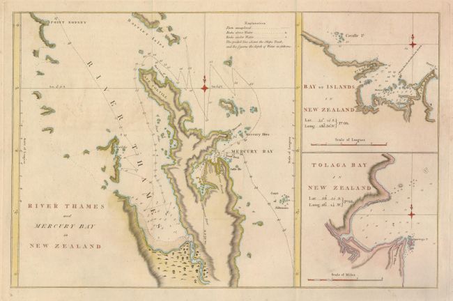
"River Thames and Mercury Bay in New Zealand [on sheet with] Bay of Islands in New Zealand [and] Tolaga Bay in New Zealand", Cook, James (Capt.)
Subject: New Zealand
Period: 1777 (circa)
Publication: Hawkesworth's An Account of the Voyages…
Color: Hand Color
Size:
16.8 x 10.8 inches
42.7 x 27.4 cm
Download High Resolution Image
(or just click on image to launch the Zoom viewer)
(or just click on image to launch the Zoom viewer)