Catalog Archive
Auction 112, Lot 587
"Nieuwe Kaart van het Turksche Ryk gelegen in Europe, Asia en Africa", Tirion, Isaac
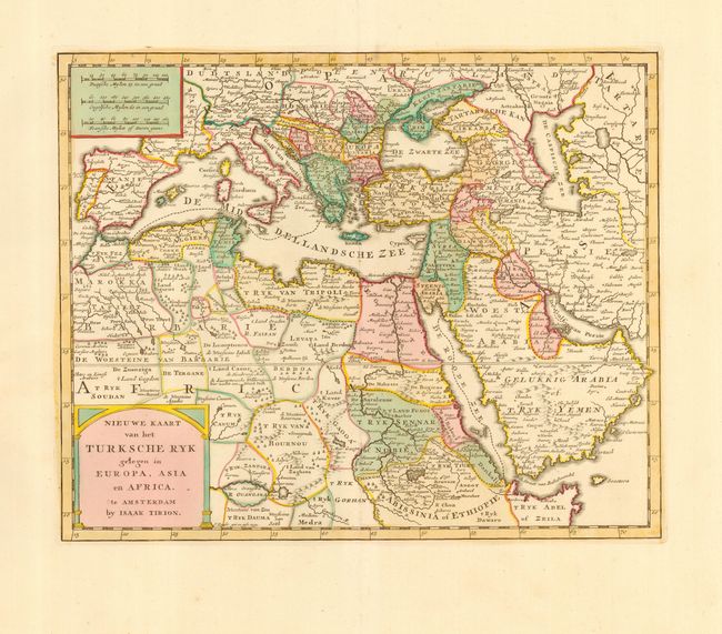
Subject: Eastern Mediterranean, Middle East and Egypt
Period: 1769 (published)
Publication: Nieuwe en Beknopte Hand Atlas
Color: Hand Color
Size:
13.5 x 11 inches
34.3 x 27.9 cm
Download High Resolution Image
(or just click on image to launch the Zoom viewer)
(or just click on image to launch the Zoom viewer)