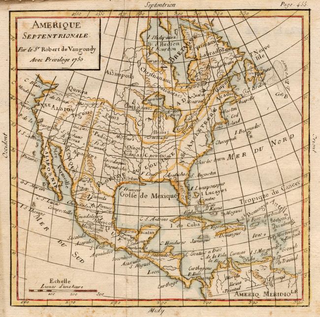
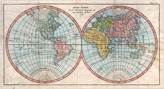
"[Set of 6] Mappe Monde [and] Amerique Septentrionale [and] Amerique Meridionale [and] L'Europe [and] Asie [and] Afrique", Robert de Vaugondy
Subject: World and Continents
Period: 1750 (dated)
Publication: Methode Abrege et Facile Pour Apprendre
Color: Hand Color
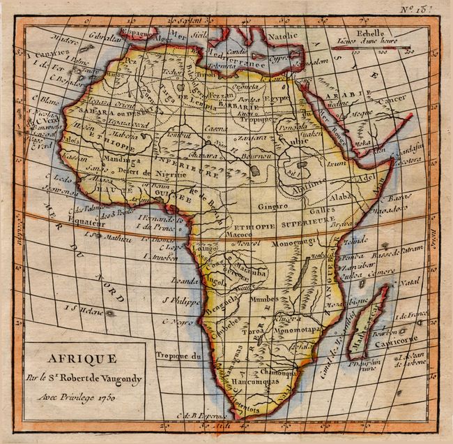
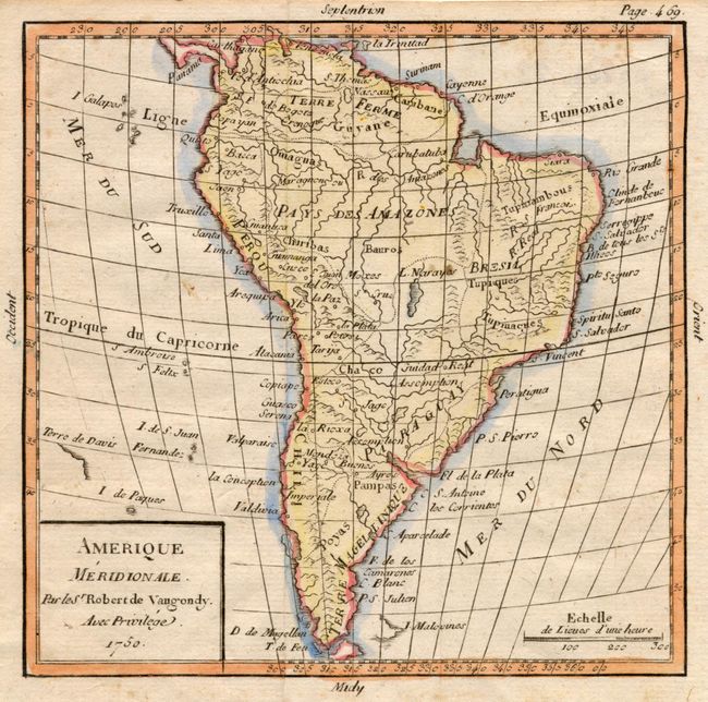
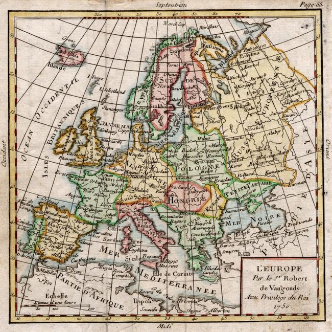
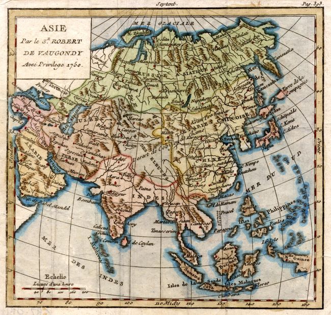
Nice set of six maps. The double-hemisphere world map shows the outline of Australia, as well as New Zealand. North America locates New Albion on the Pacific Northwest coast, as well as Indian tribes and colonial claims. South America is shown with some topographical detail, as well as the Amazon and La Plata Rivers. The map of Europe shows country divisions, as well as the major cities. Asia is well detailed for such as small map, with depictions of the mountain ranges and rivers and towns from Russia to New Guinea. The map of Africa locates the source of the Nile a bit too far north, with some notations of topography. Dimensions of continents are: 6.25 x 5.5", world map is 10.5 x 5.5".
References:
Condition: B
Delicately colored maps on laid paper, with some toning. Folds as issued, scattered foxing, occasional tape on verso.