Catalog Archive
Auction 123, Lot 709

"Generalis Totius Imperii Russorum Novissima Tabula Magnam Orbis terrarum partem a Polo Arctico sife ad mare Japonicum et Chinae Septentrionalis…", Homann, Johann Baptist

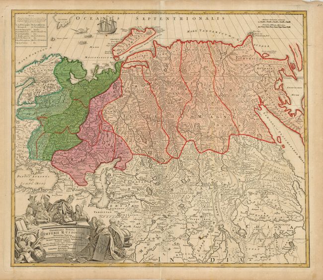
Subject: Asia - Northern

Period: 1729 (circa)

Publication:

Color: Hand Color

Size:
22 x 19 inches
55.9 x 48.3 cm
Download High Resolution Image
(or just click on image to launch the Zoom viewer)

Bold map of the Russian Empire and northern China covering the region from Finland and the Black Sea through Kamchatka in great detail. It is fully engraved to represent the topography of the region and colored to show the various Tartar tribes. A great whaling scene is engraved in the Arctic Ocean and the large title cartouche is surrounded by figures representing royalty and learning.

References:

Condition: B+

Original color on a sheet with a couple of minor spots. The centerfold has two short separations within the map that are only visible when held up to strong light.

Estimate: $350 - $400

Sold for: $375

Closed on 2/20/2008

Archived