Subject: Atlases
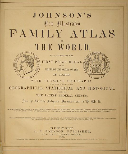
Period: 1869 (dated)
Publication:
Color: Hand Color
Size:
15 x 18.8 inches
38.1 x 47.8 cm
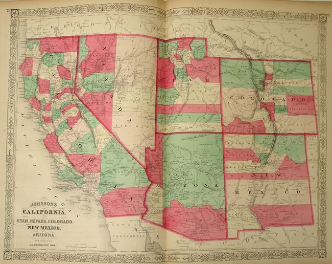
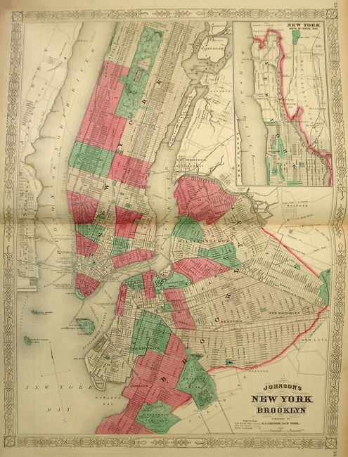
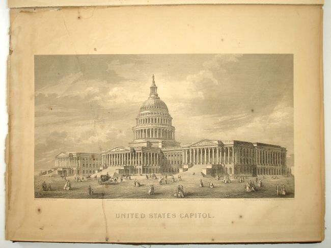
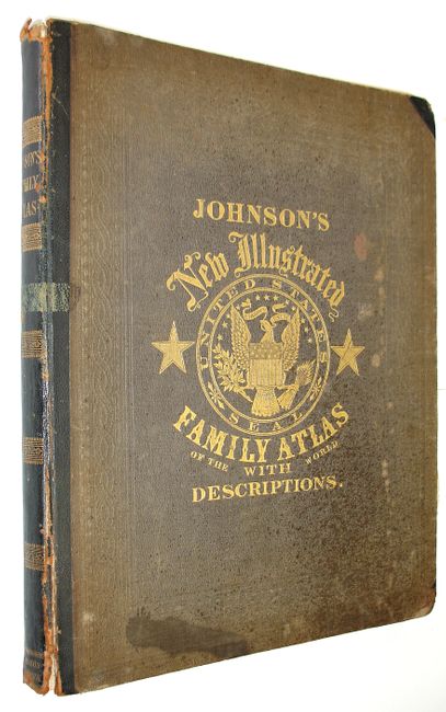
Large folio atlas with all maps and text present including a lovely, steel engraved frontispiece of the U.S. Capitol. This is a less common later edition with the newly engraved maps featuring a lace-like border. Contains three colorful thematic maps and charts including an uncommon length of rivers and height of mountains chart, and a great double-page "New Chart of National Emblems," and a very colorful set of national flags. Also contains the Civil War "Map of the Vicinity of Richmond and Peninsular Campaign in Virginia," a nice double-page map of Texas and the large "California, also Utah, Nevada, Colorado, New Mexico and Arizona" map. With all called-for maps in the list including 42 double-page and 19 single-page sheets. Hardbound in cloth with embossed gilt on cover and spine.
References:
Condition: B
Frontis is loose, torn and repaired on verso with tissue. Several pages in the front are brittle. The first few pages are heavily toned, but most maps are very good to fine, with beautiful coloring on sound paper. Covers are stained and scuffed with bumped corners are bumped, Spine cracked at bottom and front cover starting.