Catalog Archive
Auction 99, Lot 94

"America nach der zweyten Ausgabe", Mannert, Conrad

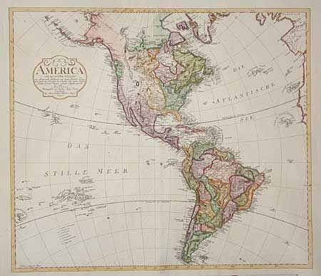
Subject: Western Hemisphere

Period: 1796 (dated)

Publication: Atlas der geographie von der bekannten ganzen welt…

Color: Hand Color

Size:
24 x 20.8 inches
61 x 52.8 cm
Download High Resolution Image
(or just click on image to launch the Zoom viewer)

Very uncommon map of the Americas published by Schneider & Weigel. Alaska is fairly well shaped following the discoveries of Capt. Cook. Numerous Pacific islands are shown including the Sandwich Islands. The United States is shown east of the Mississippi and the West, labeled Quivira, is largely blank. Great detail throughout the rest of the map with numerous place and Indian names.

References:

Condition: A+

Estimate: $600 - $700

Sold for: $450

Closed on 6/12/2002

Archived