Catalog Archive
Auction 99, Lot 688
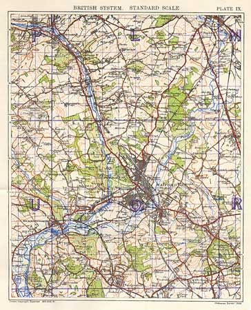
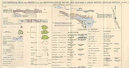
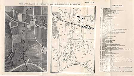
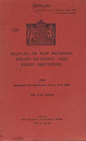
"Manual of Map Reading, Photo Reading, and Field Sketching, 1929",
1 of 4
Subject: Reference - Cartography
Period: 1940 (published)
Publication: The War Office
Color:
Size:
5.5 x 8.3 inches
14 x 21.1 cm
Download High Resolution Image
(or just click on image to launch the Zoom viewer)
(or just click on image to launch the Zoom viewer)