Catalog Archive
Auction 99, Lot 625

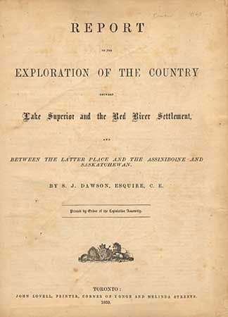
"Report of the Exploration of the Country Between Lake Superior and the Red River Settlement and Between the Latter Place and the Assiniboine and Saskatchewan", Canadian Government

Subject: Travel and Exploration - Canada

Period: 1859 (published)

Publication:

Color: Printed Color

Size:
10 x 13.3 inches
25.4 x 33.8 cm
Download High Resolution Image
(or just click on image to launch the Zoom viewer)

Report written by S.J. Dawson and printed by Order of the Legislative Assembly. First edition. 45 pp with charts, tables and letters including one from the Bishop of St. Bonifact of the Red River Settlement.. Details Dawson's 1857-58 expeditions to the rough country beyond Lake Superior resulted in this report and to his eventual hiring to construct the line of communication in 1868 which he first proposed in this report. Considered one of the first reports to attract attention to the possibilities of settlement in the North West Territory. Large (approx. 66" wide) folding "Profile of the Route by Grand Portage and the Pigeon River from Lake Superior to Rainy Lake", and a very large folding map (approx. 79" x 47") of the Region between Fort William (i.e. Thunder Bay) on Lake Superior and the Great Saskatchewan River; folded into covers. A rarely seen report complete with both large maps. Considering size, the maps are good with some splits and tears with old paper repairs.

References: Sabin 18958.

Condition: B

Original paper label in fair condition. Old rebinding retains most of original purple cloth-covered boards. Binding just fair with staining and fading. Interior pages with some chipping at one margin.

Estimate: $250 - $350

Sold for: $230

Closed on 6/12/2002

Archived