Catalog Archive
Auction 99, Lot 60
"Carte l'Amerique Septentrionale", Barbie du Bocage, Jean Denis
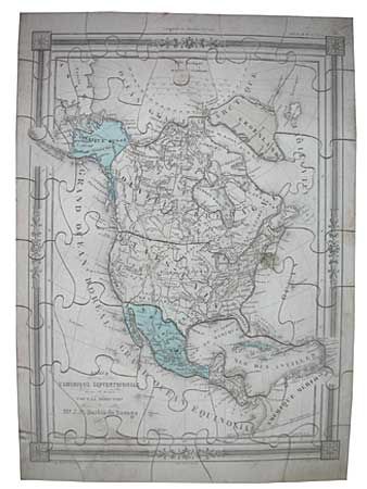
Subject: Puzzle Map
Period: 1850 (circa)
Publication:
Color: Hand Color
Size:
9.5 x 13.5 inches
24.1 x 34.3 cm
Download High Resolution Image
(or just click on image to launch the Zoom viewer)
(or just click on image to launch the Zoom viewer)