Catalog Archive
Auction 99, Lot 459

"Descripcion de las Indias Del Poniente 14", Herrera y Tordesillas, Antonio de

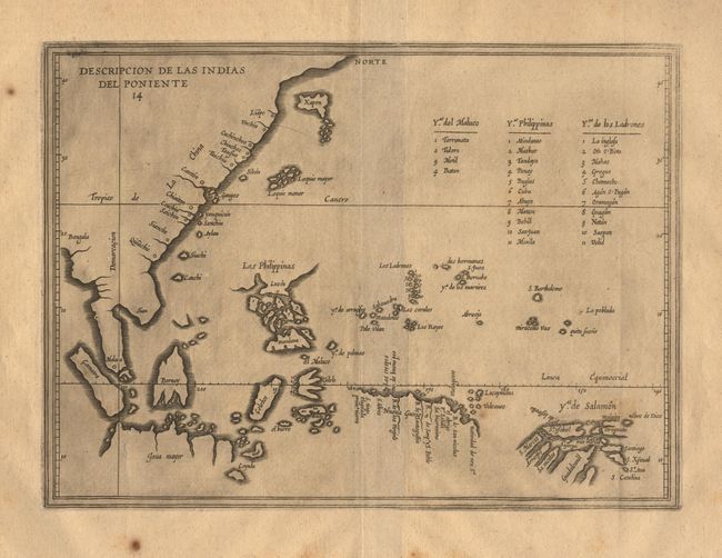
Subject: South East Asia

Period: 1601-22 (published)

Publication:

Color: Black & White

Size:
11.5 x 8.5 inches
29.2 x 21.6 cm
Download High Resolution Image
(or just click on image to launch the Zoom viewer)

Uncommon and important Spanish map of Southeast Asia, and the coasts of China and Japan. Herrera was the first official historian of Spain and his maps are based upon the manuscripts of Juan Lopez de Velasco. This map is an interesting combination of outdated cartography combined with the representations of Spanish discoveries in the region. It is the earliest printed map of the northern coasts of New Guinea and the Solomon Islands following the voyage of Alvaro de Mendana. It is the first map to name all the islands of the Philippines, although the archipelago is exceeding distorted. On the coast of China the outer Pearl River Estuary is named R. Ganges based on Gerard Mercator's erroneous belief that one tributary of the Ganges flowed from the foothills of India eastwards to China. Japan is shown with a strange principal island and nine smaller islands to the south possibly representing Kyushu (meaning nine islands). A key also identifies the islands in the Mariana archipelago and the Moluccas. The line of Spanish-Portuguese demarcation is shown north-south just to the east of Malacca.

References:

Condition: A

Dark impression with some ink residue evenly applied throughout the map. Some scattered foxing in margins.

Estimate: $800 - $900

Sold for: $600

Closed on 6/12/2002

Archived