Catalog Archive
Auction 99, Lot 450
"Carte de la Tartarie Occidentale", Bellin, Jacques Nicolas
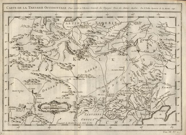
Subject: Eastern Asia
Period: 1740 (dated)
Publication: Histoire Generale des Voyages
Color: Black & White
Size:
12.1 x 8.6 inches
30.7 x 21.8 cm
Download High Resolution Image
(or just click on image to launch the Zoom viewer)
(or just click on image to launch the Zoom viewer)