Catalog Archive
Auction 99, Lot 39

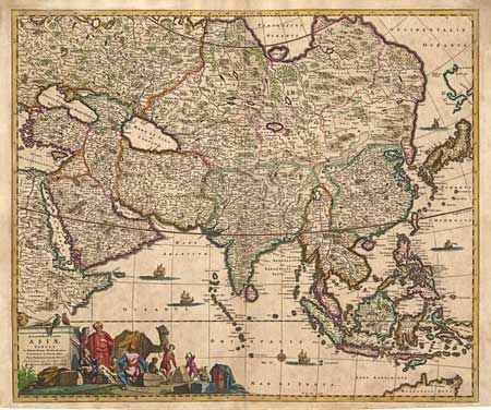
"[Set of 5 maps]", Various
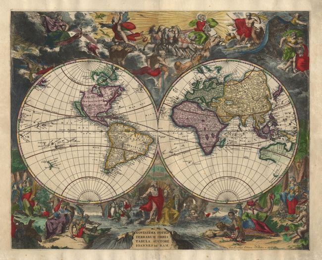
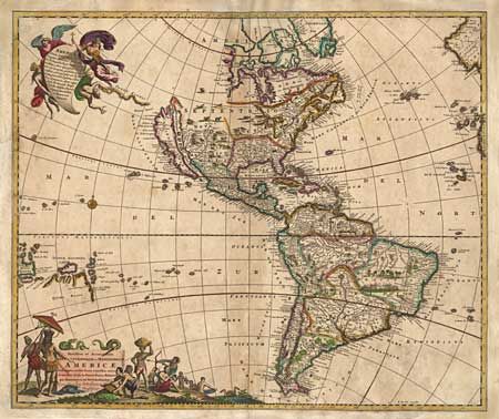
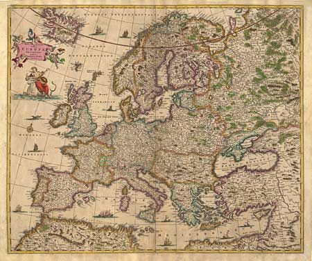
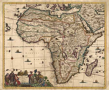
Subject: World and Continents

Period: 1690 (circa)

Publication:

Color: Hand Color

Size:
23 x 18 inches
58.4 x 45.7 cm
Download High Resolution Image
(or just click on image to launch the Zoom viewer)

Fine set of decorative maps from a composite Dutch atlas. The world map, Novissima Totius Terrarum Orbis Tabula, is by Johannes de Ram. It is a scarce and splendid double hemisphere surrounded by lavish scenes from Greek mythology and featuring the Island of California, one large, open-end, Great Lake, and incomplete coastlines for Australia and New Zealand. The map of America, Novissima et Accuratissima Septentrionalis et Meridionalis Americae, is De Wit's version of Visscher's influential map with the Island of California. The map of Europe, Nova et Accurata totius Europae Descriptio, by De Wit is filled with details and features Europa riding Zeus in the form of a bull below the cartouche. De Wit's map of Asia, Accuratissima totius Asiae Tabula shows the extent of European knowledge of the region with a large title cartouche depicting a busy scene of Jesuits and traders with their exotic cargo. The map of Africa, Totius Africae Accuratissima Tabula is by Justus Danckerts and is based on De Wit's map of 1680. It includes typical 17th century geography (with all its fictitious details) and a decorative cartouche. All adorned with ships, sea monsters, compass roses and large cartouches. Size varies slightly.

References: World - Shirley #519; America - McLaughlin #49; Asia - Yeo #59; Africa - Norwich #57.

Condition: B

Some faint discoloration. Margins trimmed, but all more than adequate. Some minor repaired tears or fold separations. America has been restored including facsimile of the borders at corners & 1/2" into map at center. All extremely skilled restorations.

Estimate: $7,000 - $9,000

Sold for: $5,000

Closed on 6/12/2002

Archived