Catalog Archive
Auction 99, Lot 392

"The Crimea", Tallis, John
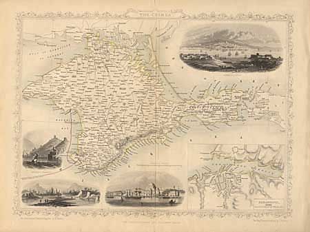
Subject: Ukraine

Period: 1851 (circa)

Publication: Illustrated Atlas and Modern History of the World

Color: Hand Color

Size:
13 x 9.5 inches
33 x 24.1 cm
Download High Resolution Image
(or just click on image to launch the Zoom viewer)

Detailed map of the Crimean Peninsula, outlined in yellow with the new telegraph line noted in red. The map includes a large inset of "Sebastopol before its investment by the Allies", and four (uncolored) vignettes: Sebastopol, Eupatoria, Bank of the Alma, and Balaklava Harbour. The map is surrounded in a delicately engraved border.

References:

Condition: A

A few tiny tears in bottom margin, well away from border. Hinge tape on verso.

Estimate: $60 - $70

Sold for: $30

Closed on 6/12/2002

Archived