Catalog Archive
Auction 99, Lot 34
"Mappa-Mondo per indicare la principale costruzione, e la configurazione de due Continenti", Barbiellini, Carlo Antonio
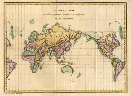
Subject: World
Period: 1800 (circa)
Publication: Geographia Universelle
Color: Hand Color
Size:
15.5 x 11.5 inches
39.4 x 29.2 cm
Download High Resolution Image
(or just click on image to launch the Zoom viewer)
(or just click on image to launch the Zoom viewer)