Catalog Archive
Auction 99, Lot 278
"Ruatan or Rattan Leve Par Henry Barsnley Lieutenant", Jefferys, Thomas
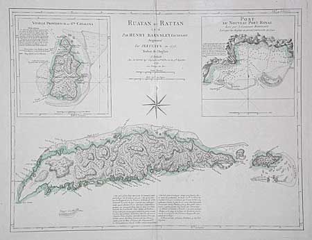
Subject: Central America
Period: 1779 (dated)
Publication:
Color: Hand Color
Size:
23.7 x 18 inches
60.2 x 45.7 cm
Download High Resolution Image
(or just click on image to launch the Zoom viewer)
(or just click on image to launch the Zoom viewer)