Catalog Archive
Auction 99, Lot 218
"The State of New Hampshire, Compiled chiefly from Actual Surveys", Reid, John
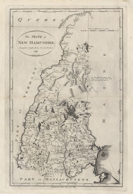
Subject: New Hampshire
Period: 1796 (dated)
Publication: American Atlas
Color: Black & White
Size:
11 x 17.3 inches
27.9 x 43.9 cm
Download High Resolution Image
(or just click on image to launch the Zoom viewer)
(or just click on image to launch the Zoom viewer)