Catalog Archive
Auction 99, Lot 183

"Drainage map of Colorado", U.S. Department of Interior
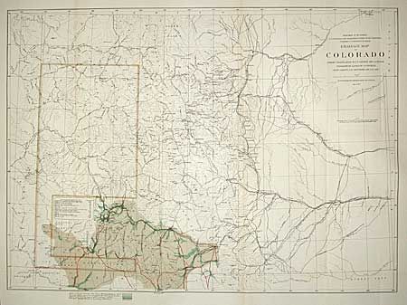
Subject: Colorado

Period: 1877 (published)

Publication: HR Ex Doc. 66, map #3, 45th Cong., 2nd Session

Color: Printed Color

Size:
21.4 x 15.2 inches
54.4 x 38.6 cm
Download High Resolution Image
(or just click on image to launch the Zoom viewer)

The map shows the area surveyed during Hayden's San Juan Reconnaissance of 1877. The areas settled for mining purposes are in color. Topography in the eastern half is from Clarence King's surveys. Shows detailed information on roads and toll roads (including the Salt Lake Wagon Road), railroads, Indian Reservations, populations districts, topography, hydrology, etc. for most of Colorado. Small table gives populations.

References:

Condition: A

Light toning along two folds, else very good.

Estimate: $150 - $200

Sold for: $275

Closed on 6/12/2002

Archived