Catalog Archive
Auction 99, Lot 179

"Map of Public Surveys in California & Nevada to accompany Report of Surveyor General", U.S. State Surveys
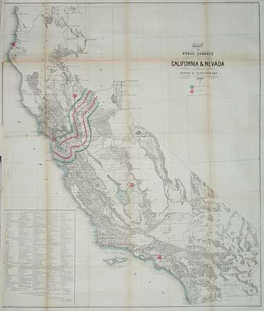
Subject: California

Period: 1863 (dated)

Publication: 39th Cong., 1st session

Color: Hand Color

Size:
30.4 x 36 inches
77.2 x 91.4 cm
Download High Resolution Image
(or just click on image to launch the Zoom viewer)

This map shows remarkable progress over the 1861 edition, also in this auction. At lower left is a list of 433 Private Grants with each grant numbered and its location shown on the map. Newly added is the path of the Central Pacific Railroad, with the 10 and 20 miles limits, winding from Nevada to San Francisco. Signed in the plate by E.F. Beale. A large and finely drawn map with much topographical and watershed detail.

References:

Condition: B

Toned along folds. Backed with Japanese tissue. Left margin with loss into neatline, repaired with laid paper, but no facsimile of neatline.

Estimate: $150 - $200

Sold for: $75

Closed on 6/12/2002

Archived