Catalog Archive
Auction 99, Lot 170
"Carte de la Riviere de Cook dans la partie N.O. de l'Amerique", Bonne, Rigobert
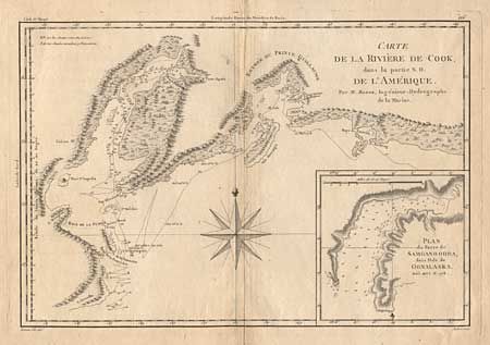
Subject: Alaska
Period: 1787 (published)
Publication:
Color: Black & White
Size:
13.5 x 9.2 inches
34.3 x 23.4 cm
Download High Resolution Image
(or just click on image to launch the Zoom viewer)
(or just click on image to launch the Zoom viewer)