Catalog Archive
Auction 98, Lot 62
"Descripcion de las Indias Ocidentalis", Bry, Johann Theodore de
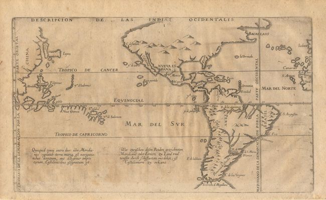
Subject: Western Hemisphere
Period: 1655 (published)
Publication: Newe Welt und Americanishe Historien
Color: Black & White
Size:
11.8 x 6.9 inches
30 x 17.5 cm
Download High Resolution Image
(or just click on image to launch the Zoom viewer)
(or just click on image to launch the Zoom viewer)