Catalog Archive
Auction 98, Lot 502

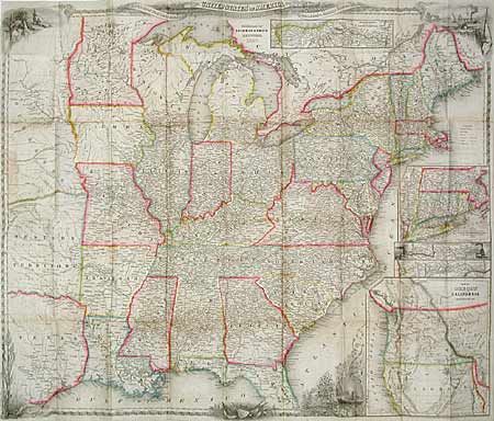
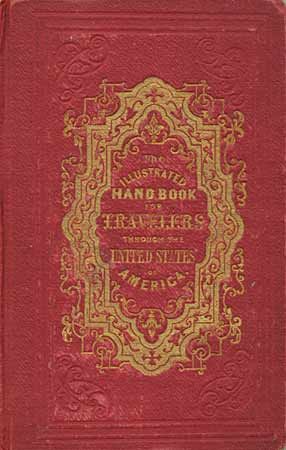
"The Illustrated Hand-Book, A New Guide for Travelers through the United States of America", Smith, J. Calvin

Subject: Traveler's Guide

Period: 1847 (published)

Publication:

Color: Hand Color

Size:
4 x 5.7 inches
10.2 x 14.5 cm
Download High Resolution Image
(or just click on image to launch the Zoom viewer)

J. Calvin Smith produced some of the best travel guides and maps of the mid-nineteen century. This wonderful booklet contains extensive information for the use of travelers and emigrants during this period of great westward expansion. The folding map "A New Map for Travelers through the United States of America Showing the Railroads, Canals and Stage Roads" (26 x 22") is beautifully engraved with vignettes of Native Americans, a harbor, trains, Niagara Falls and a decorative border. The map shows the United States to beyond the Mississippi River to Nebraska Territory, Western Territory (Oklahoma) and eastern Texas. Typically, the emphasis is on the transportation network, the routes of which are prominently displayed with the distances between points noted. Several insets showing important railroad routes and a large inset "Map of Oregon Northern California, Santa Fe &c" showing the west, in which the region labeled Santa Fe is included in the Texas panhandle. Published by Sherman & Smith. 233 pp with illustrations throughout. Embossed red cloth covers with gilt titles.

References:

Condition: A

Binding sound with cloth separating at spine and rubbed corners. Map with a couple of tiny separations at fold intersections. Contents fine.

Estimate: $1,000 - $1,200

Sold for: $1,000

Closed on 3/6/2002

Archived