Catalog Archive
Auction 98, Lot 417
"Chart of the Archipelago of Navigators Discovered by Mr. De Bougainville in May 1768 and explored by the Boussole & the Astrolabe in December 1787", La Perouse, Comte Jean F. Galoup, de
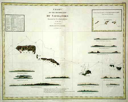
Subject: Pacific Islands
Period: 1798 (published)
Publication: Atlas du Voyage de La Perouse
Color: Hand Color
Size:
19.2 x 15 inches
48.8 x 38.1 cm
Download High Resolution Image
(or just click on image to launch the Zoom viewer)
(or just click on image to launch the Zoom viewer)