Catalog Archive
Auction 98, Lot 374
"Map of Kyoto",
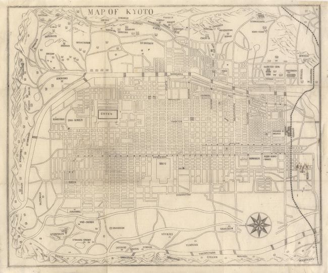
Subject: Japan
Period: 1891 (published)
Publication: Illustrated Guide to Kyoto & Its Suburbs …
Color: Black & White
Size:
10.8 x 9 inches
27.4 x 22.9 cm
Download High Resolution Image
(or just click on image to launch the Zoom viewer)
(or just click on image to launch the Zoom viewer)