Catalog Archive
Auction 98, Lot 261

"Tabula Islandiae Auctore Georgio Carolo Flandro", Jansson, Jan
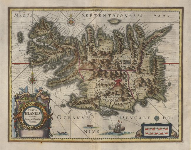
Subject: Iceland

Period: 1645 (circa)

Publication:

Color: Hand Color

Size:
19.3 x 14.7 inches
49 x 37.3 cm
Download High Resolution Image
(or just click on image to launch the Zoom viewer)

This handsome map of Iceland was based on information from a Dutch navigator named Joris Carolus in about 1620. The map shows the influence of both versions of bishop Gudbrandur's previous maps, a coastline resembling the Ortelius version, and Mercator's selection and spelling of many place names. The island's topography is dominated by huge mountains and volcanoes and its shoreline a rugged labyrinth of fiords. It is richly embellished with title and distance scale cartouches, compass roses, rhumb lines, a sailing ship and two sea monsters. The map was hugely influential for over 130 years as it was printed in many editions by two of the largest map publishers in the Netherlands, Willem Blaeu and Jan Jansson. This being the later state without imprint. Latin text on verso.

References:

Condition: A

Repairs along centerfold including a short parallel tear at bottom.

Estimate: $1,000 - $1,200

Sold for: $900

Closed on 3/6/2002

Archived