Catalog Archive
Auction 98, Lot 213

"Chancellorville", U.S. War Department
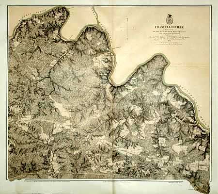
Subject: Virginia

Period: 1867 (dated)

Publication:

Color: Hand Color

Size:
24.4 x 20.8 inches
62 x 52.8 cm
Download High Resolution Image
(or just click on image to launch the Zoom viewer)

This superb Civil War military map was issued in a U.S. War Department report illustrating the Operations of the Armies of the Potomac & James. The maps were beautifully lithographed and hand colored by Julius Bien of New York. Each large-scale map features incredible detail including roads, houses, fences, names of inhabitants, vegetation, drainage, and relief hachures. Maj. J.E. Weyss drew these maps from surveys under the direction of Bvt. Brig. Gen. N. Michler and Bvt. Lieut. Col. P.S. Michie under the command of Bvt. Maj. Gen. A.A. Humphreys.

A superior map of this famous battlefield with fine detail at 3 inches per mile. Lithographed by Julius Bien with hand applied burnt umber background, and positions shown, but left uncolored.

References: Phillips (A) Vol 3, #3688-3.

Condition: A

Stained in margins, else very good.

Estimate: $250 - $300

Sold for: $150

Closed on 3/6/2002

Archived