Catalog Archive
Auction 98, Lot 184
"Map of The State of Minnesota", Taintor & Merrill
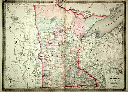
Subject: Minnesota
Period: 1876 (published)
Publication: The American Commercial Atlas
Color: Hand Color
Size:
28.8 x 21 inches
73.2 x 53.3 cm
Download High Resolution Image
(or just click on image to launch the Zoom viewer)
(or just click on image to launch the Zoom viewer)