"[Set of 10 maps] Karte von Inner- Afrika", Perthes, Justus
Subject: Central Africa
Period: 1861-1863 (dated)
Publication: Petermann & Hassenstein
Color: Hand Color
Size:
21 x 17 inches
53.3 x 43.2 cm
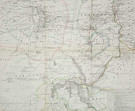
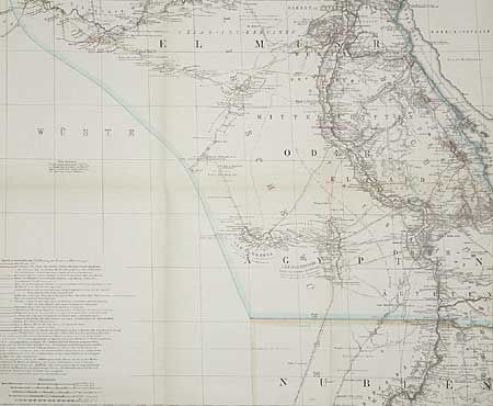
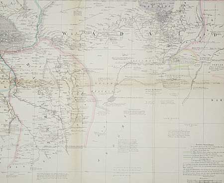
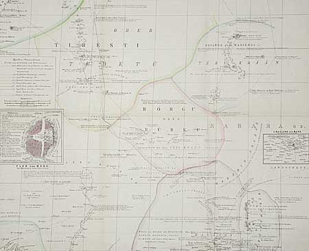
This is a remarkable rendering of available knowledge of an area in central Africa, approx. 7 deg. South to 30 deg. North and between 15 deg. East and 33 deg. East. Hydrology and topography are well developed. Name places (in German) are placed as accurately as available information permitted. Each map lists the known exploring expeditions in its area. The earliest date is 1701. Speke, Burton and Livingston are among those listed. Amazing detail. Set of 10 maps, each approximately 21x17".
References:
Condition: B
Very finely engraved with lovely and delicate hand coloring. A little toning along a few folds and an occasional scattered spot.