Catalog Archive
Auction 97, Lot 344
"Poland (Polska) Divided into Eight Palatinates or Woiwodies", SDUK Society for the Diffusion of Useful Knowledge
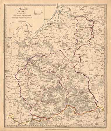
Subject: Poland
Period: 1831 (dated)
Publication:
Color: Hand Color
Size:
12.5 x 15 inches
31.8 x 38.1 cm
Download High Resolution Image
(or just click on image to launch the Zoom viewer)
(or just click on image to launch the Zoom viewer)