Catalog Archive
Auction 97, Lot 281
"Carte de Maidenland ou de la Virginie de Hawkins, decouverte par Sir Richard Hawkins en 1574 et du Canal Falkland ainsi appelle par le Cap.ne Jean Strong qui le traverse en 1689", Benard, Robert
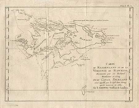
Subject: Falkland Islands
Period: 1760 (circa)
Publication:
Color: Black & White
Size:
11.7 x 8.7 inches
29.7 x 22.1 cm
Download High Resolution Image
(or just click on image to launch the Zoom viewer)
(or just click on image to launch the Zoom viewer)