Catalog Archive
Auction 97, Lot 168
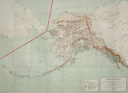
"Alaska Compiled from Official Records of the General Land Office, U.S. Geological Survey, U.S. Coast and Geodetic Survey and other sources", General Land Office
Subject: Alaska
Period: 1898 (published)
Publication:
Color: Printed Color
Size:
37 x 27.2 inches
94 x 69.1 cm
Download High Resolution Image
(or just click on image to launch the Zoom viewer)
(or just click on image to launch the Zoom viewer)