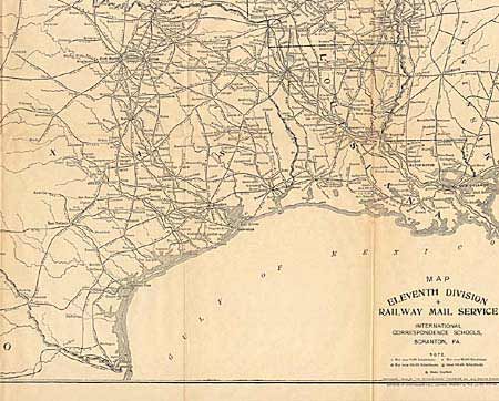
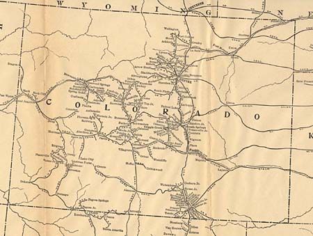
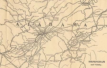
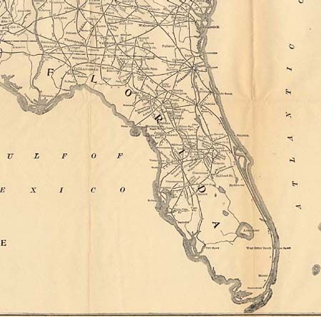
"[Set of twelve maps] RailWay Mail Service",
Subject: United States
Period: 1906 (dated)
Publication: International Correspondence Schools
Color: Black & White
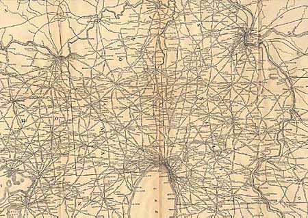
Eleven folding maps cover the entire United States, showing and naming all main railway systems, short lines and junctions. Also a full color map of the U.S, showing principal cities, rivers, and mountain ranges, dated 1904. Sizes vary from 14 x 18" to 50.5 x 16". A remarkable set of maps detailing early 19th century railroads. Contains maps for Division I through XI less Division II, but the map marked Map N.E. States appears to be Division II.
References:
Condition: A
Rust colored buckram slipcase with gilt title on leather spine. Boards slightly warped and a little rubbed. Maps are very good, with the US map being just good due to pinholes in margins and some marginal foxing.