Catalog Archive
Auction 97, Lot 134

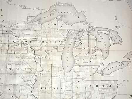
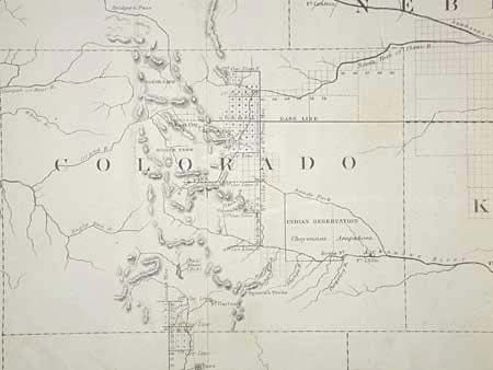
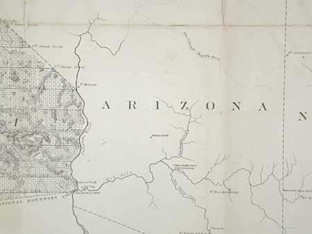
"Map of the Public Land States and Territories constructed from The Public Surveys and other official sources in the General Land Office", General Land Office

Subject: United States

Period: 1865 (dated)

Publication: HR Ex Doc. 1, Map 1, 39th Cong., 1st Session

Color: Black & White

Size:
44.2 x 28.1 inches
112.3 x 71.4 cm
Download High Resolution Image
(or just click on image to launch the Zoom viewer)

The maps covers the entire U.S., however, the original 13 colonies and the State of Texas were exempt from coverage by the General Land Office. The state of the surveys in the remaining States and Territories are noted in considerable detail. Wyoming Territory remains to be created. The southern tip of Nevada is still attached to Arizona. A small portion of Dakota has been surveyed for settlers but nothing much has been done in Arizona, Nevada, Idaho or Montana.

References:

Condition: B

Reinforced with archival tissue and pressed. Toned along some folds and some scattered areas of foxing. Close trimmed at binding edge with loss to neat line, as issued, and replaced by remargining at this edge.

Estimate: $220 - $275

Sold for: $110

Closed on 12/5/2001

Archived