Catalog Archive
Auction 96, Lot 58

"[Polus Antaracticus]", Hondius/Jansson
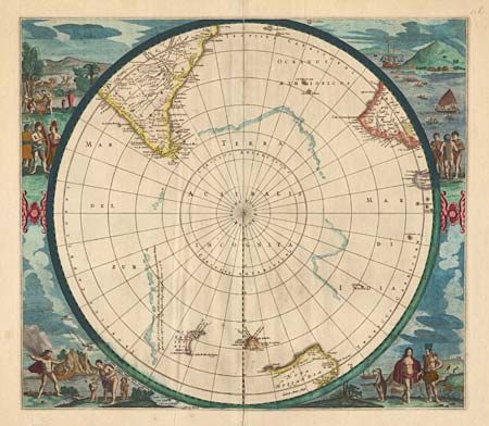
Subject: South Pole

Period: 1660-1680 (circa)

Publication:

Color: Hand Color

Size:
19 x 16.8 inches
48.3 x 42.7 cm
Download High Resolution Image
(or just click on image to launch the Zoom viewer)

This is a re-issue of Hondius' important map of the South Pole. The circular south-polar projection shows part of South America, Africa, Madagascar and the incomplete coastlines of Antarctica and Australia. The title cartouche has been removed and parts of New Zealand, Van Diemans Land and the Islands of Amsterdam and Paulo have been added. The map is surrounded by full color engravings of natives in various scenes and visiting sailors coming ashore. Blank verso.

References: Tooley Australia, No. 10 (p.198); Tooley (MCC) 2-#24; Schilder, G. Austraila Unveiled, map 44.

Condition: B

Clean split at top and bottom fold, with no loss. Full margins with lower edge a little rough. One tiny worm hole in ocean. Crisp impression, on thick hand-laid paper with early, amateur coloring.

Estimate: $750 - $1,000

Sold for: $550

Closed on 9/12/2001

Archived