Catalog Archive


Auction 96, Lot 54
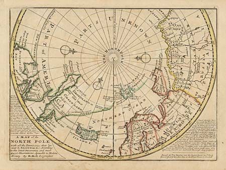
"A Map of the North Pole with all the Territories that lye near it, known to us &c…", Moll, Herman

Subject: North Pole
Period: 1739 (circa)
Publication:
Color: Hand Color
Size:
10.7 x 8 inches
27.2 x 20.3 cm
Download High Resolution Image
(or just click on image to launch the Zoom viewer)
(or just click on image to launch the Zoom viewer)