Catalog Archive
Auction 96, Lot 471
"Das Capland nebst den Sud-Afrikanischen Freistaaten und dem Gebiet der Hottentotten & Kaffern", Perthes, Justus
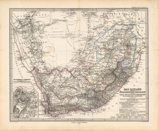
Subject: South Africa
Period: 1877 (dated)
Publication: Stieler's Hand-Atlas
Color: Hand Color
Size:
16 x 13 inches
40.6 x 33 cm
Download High Resolution Image
(or just click on image to launch the Zoom viewer)
(or just click on image to launch the Zoom viewer)