Catalog Archive
Auction 96, Lot 449

"L'Afrique divisee en ses Principaux Etats", Janvier, Jean
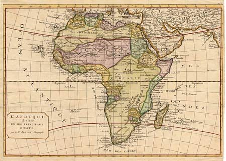
Subject: Africa

Period: 1770 (circa)

Publication:

Color: Hand Color

Size:
17 x 11.8 inches
43.2 x 30 cm
Download High Resolution Image
(or just click on image to launch the Zoom viewer)

Handsome copper engraved map of the continent showing the extent of knowledge in the mid 18th century. While mostly accurate, it does have remnants of fantasy such of the twin lake source of the Nile, which in this depiction is quite a bit north of the Equator. C. de Bonee Esperance and Stellembos Pic are the only settlements marked in southern Africa, which is occupied by the Hottentot tribes. This version has the unadorned square title block.

References:

Condition: A

Narrow (1/8") right margin and one small spot, else fine.

Estimate: $200 - $240

Sold for: $210

Closed on 9/12/2001

Archived