Catalog Archive
Auction 96, Lot 443

"Idee de l'Isle de Java. Tiree des Manuscrits Hollandois", Bellin, Jacques Nicolas

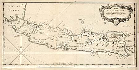
Subject: East Indies

Period: 1750 (circa)

Publication:

Color: Black & White

Size:
17 x 8.1 inches
43.2 x 20.6 cm
Download High Resolution Image
(or just click on image to launch the Zoom viewer)

Decorative map of the island of Java and the Straits of Sunda. A note under the decorative title cartouche states that the interior of this island and the course of the rivers are very poorly known. It was not until the early part of the 18th century that this island was mapped very well due to the secrecy that all the European nations attempted to keep concerning this region rich with spices and other desirable trade goods. The map shows the various Districts and a few topographical features with Madura and parts of Bali and Sumatra.

References:

Condition: C

Trimmed into border at left with paper added, thus missing neatline.

Estimate: $110 - $130

Sold for: $50

Closed on 9/12/2001

Archived