Catalog Archive
Auction 96, Lot 417
"China Veteribus Sinarum Regio nunc Incolis Tame dicta", Jansson, Jan
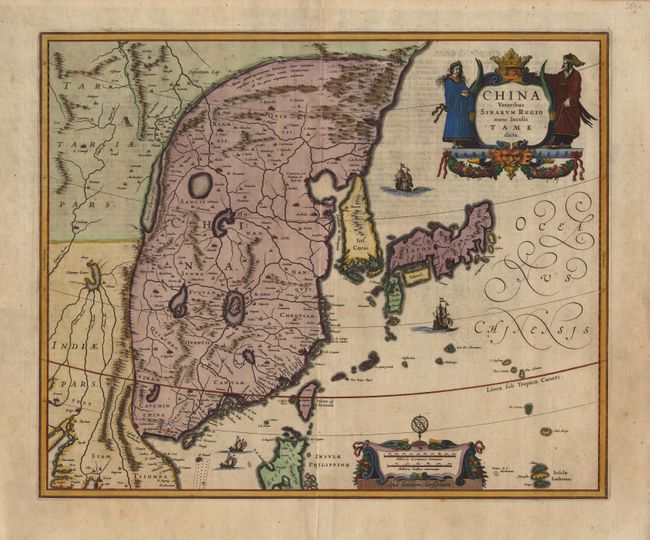
Subject: China and Korea
Period: 1636 (circa)
Publication:
Color: Hand Color
Size:
19.5 x 16 inches
49.5 x 40.6 cm
Download High Resolution Image
(or just click on image to launch the Zoom viewer)
(or just click on image to launch the Zoom viewer)